Indoor maps for Smart Cities
The prefect solution for smart buildings and campuses.

Create your maps
Osiris uses Open Street Map data format for input. It is easy to create indoor maps using JOSM and upload the result file to the server.
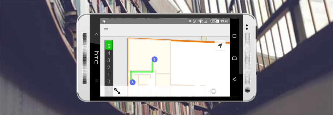
Sample Android application
See how to use Osiris downloading the sample code from Github. The demo application will display your buildings and the surrounding area.

Build your server
Get the distributable binary or build the source code. Deploy the package on your server and make use of the REST APIs to connect your applications.

Use our services
Forget about the maintenance and upgrade problems using the solutions through our own cloud. Contact us, how can we help you?